The Project
About the Project
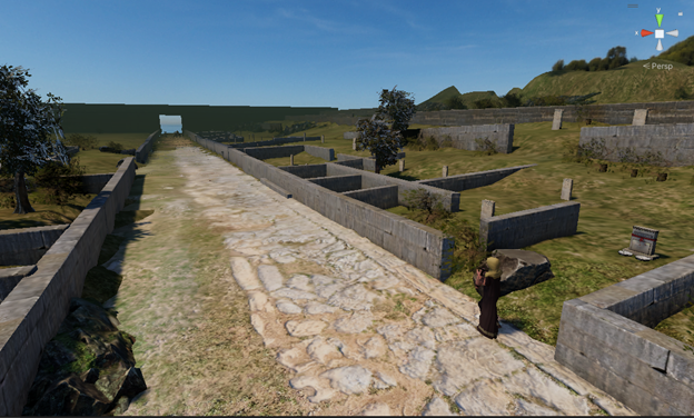
The project involves the study and application of advanced augmented reality technologies (Augmented Reality – AR) in both indoor and outdoor archaeological areas, aiming to visually and acoustically enhance them and, as a secondary goal, to sustain archaeological sites by improving their conservation monitoring process.
For this purpose, the archaeological site will be digitized in 3D, the site's conservation data will be digitized, and a unified database will be created including the digitization files and the results of the non-destructive evaluation of the site using drones.
This allows the user to navigate in real-time and see on the screen of a suitable MARS (Mobile Augmented Reality Systems) device the 3D models represented exactly in the position indicated by the cultural management authority (Ephorate of Antiquities of Arta in this specific project).
The effort requires the development of special software so that the models are displayed with minimal deviation in terms of position and scale. Given that this must be done in real time, the software and technology developed will support immediate re-mapping of the models with every minor change in the user's position or head turn, responding within milliseconds.
Additionally, in the field of sustainability, an archaeologist or conservator will be able to see information from the conservation file of an ancient object in the area, as long as the device's camera is focused on it. The object will be recognized by the device's camera, and then the related information will be displayed on the screen, enriched with graphics and colors for more efficient visualization (e.g., increasing the contrast at points where additional materials have been incorporated into the object).


